Reach places standard maps miss
Help drivers navigate to private roads, assets, sites, and locations that are not always covered by standard map data.


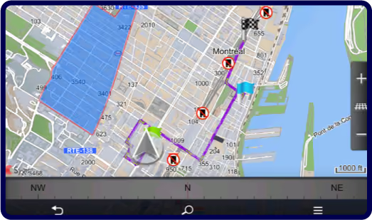
Highlight custom areas on the map and notify drivers or dispatchers when a vehicle enters or leaves a geofence.
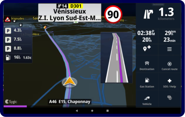
Add fleet-specific points of interest such as depots, warehouses, fuel stops, service centers, customer sites, or delivery points, and navigate drivers to them.
Display your own GIS layers, infrastructure lines, pipe networks, unmapped roads, or other custom geometry files directly on the Sygic navigation map.
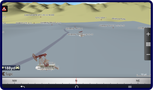
Import custom map content such as private, lease, or site roads, and use voice-guided navigation from public roads to your own assets or locations.
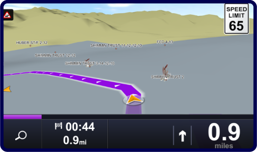
Let drivers see the position of co-workers or other vehicles directly on the navigation screen while navigating.
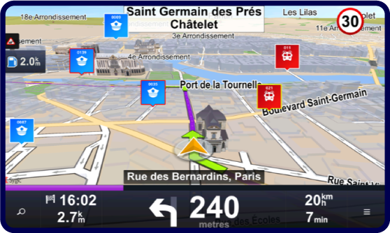
Help drivers navigate to private roads, assets, sites, and locations that are not always covered by standard map data.
Use custom POIs and location data to guide drivers closer to the right depot, customer site, service point, or delivery location.
Show custom overlays, map layers, and fleet-specific locations directly inside the driver’s navigation view.
Use geofences to make important areas visible and support entry, exit, and presence notifications for drivers or dispatchers.
.avif)
.webp)
Automatically avoid roads unsuitable for trucks, special cargo, or hazardous materials bz setting vehicle-specific routing parameters.
.webp)
Optimise routes with 10 to 200+ stops, reduce missed delivery windows, and align dispatchers with drivers, all with real-time traffic adaptation.
.webp)
We also cover field service, construction, agriculture, utilities, and emergency response.
Tell us about your fleet and current setup. Whether you need pricing, want to explore a free trial, or have technical questions, we're here to help.